San Francisco
Wind gusts 8.6 m/s at 75 m altitude are high.
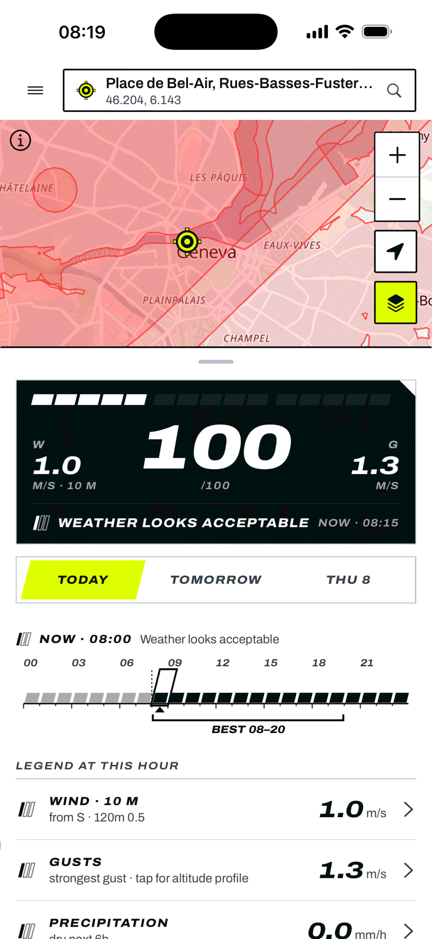
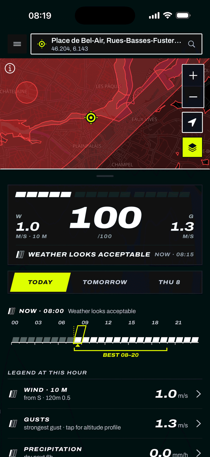
Wind and gusts from the ground to your flight altitude, a 2-hour rain-radar nowcast, an advisory flight score, and airspace - in one pre-flight view.
Advisory information only. Always check official airspace rules before flying.


Wind, gusts, rain, visibility, temperature, cloud, dew point and freezing level plotted across today, tomorrow and the day after. On Pro, the Best Flying Window scans three days of daylight and surfaces the calmest stretch for you - no need to read every hour.
Forecasts for San Francisco, London, and Tokyo, pulled from our public API this minute. Sources named, timestamps shown, gaps left as gaps.
Wind gusts 8.6 m/s at 75 m altitude are high.
Wind speed 6.4 m/s is elevated.
Wind gusts 12.3 m/s at 150 m altitude are high.
Advisory information only. Always check official airspace rules before flying.
Every reading is built for the pre-flight decision - not a generic weather card.
See rain in the next 2 hours from real ground-based weather radar where coverage exists - clearly labelled real radar vs. model, never faked. Free.
Drone-zone overlays for your area. Tap any zone for its limits, then jump straight to the official authority - FAA B4UFLY, EASA geo-zones, LFV Dronechart. Free.
Gusts from 10 m up through the 25-150 m VLOS corridor, not just the ground. 10, 80 and 120 m are free; 180 m and upper-air winds on Pro.
On Pro, we scan the next three days of daylight and surface the calmest window for you - instead of making you read every hour.
The geomagnetic Kp index feeds the Flight Score, plus a satellite-visibility forecast that flags when conditions can degrade your GPS lock (GNSS forecast on Pro).
Missing radar or data shows as unavailable, never faked. Every reading carries its source and how fresh it is.
Start from 30+ real models - DJI, Autel, Skydio, Parrot - each with IP-rated precipitation limits baked in, or build a fully custom profile and set wind, gust, precipitation, visibility, and temperature limits that match your aircraft. The advisory Flight Score follows your thresholds, not ours.
Plan up to three days out - today鈥檚 full 24 hours plus tomorrow and the day after - and tap any point on the map to read the forecast at that exact spot.
The Flight Score is advisory, and we never pretend otherwise. A pre-flight summary spells out which layers we verified - weather, winds aloft, radar nowcast - and which ones stay on you: the airspace registry, active NOTAMs and TFRs, ground rules, and your manufacturer鈥檚 geofence.
An interactive map shows drone-zone overlays where we have coverage, and wherever you fly we link out to the right national drone authority for your location. Every reading on screen carries its source and how fresh it is - so you can trust the number or know to double-check it.
A country-agnostic baseline of authoritative forecast data works wherever you fly. National radar and airspace integrations layer on where they have coverage - we keep adding more.